According to the Tallahassee Democrat, Meteorologist Dr. Ryan admits he has trouble accepting that Hurricane Michael actually happened.
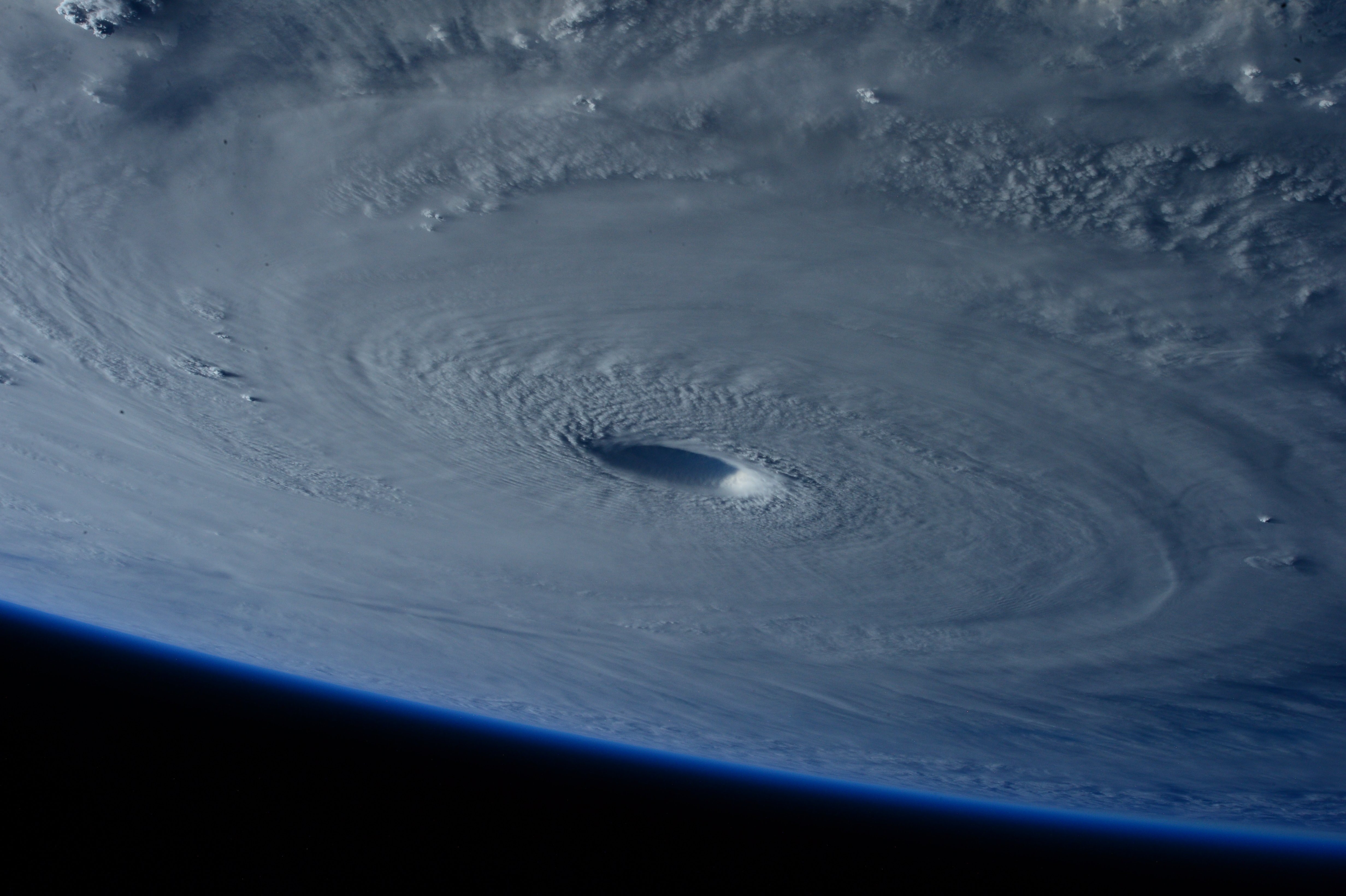
Hurricane Michael was the strongest hurricane to destroy the Florida Panhandle. Michael’s 919 mb reading is the third lowest ever in the U.S. It is three millibars lower than Hurricane Andrew’s lowest pressure. Michael’s reported winds are on the cusp of category 5 intensity and are tied for fifth-strongest equaling out to Hurricane Maria’s intensity at its time of landfall in Puerto Rico.
In Dr. Ryan’s analysis, there are three key factors behind devastation of Hurricane Michael, which are the preceding environment, the intensification and the expansive inland windfield.
Forecasts called for a calm hurricane season, however, cold air bottled up in the Artic while triggering sweltering conditions across the mid-latitudes of the Northern Hemisphere in August and September leading to the ridging that stalled Florence over the Carolinas.
Throughout September and early October, the high-pressure system prevented the advance of early season cold fronts into the Southeastern U.S., bringing dry weather and heat. This brought sea surface temperatures of the Northern Gulf to three to four degrees above normal ahead of Michael and pumped extremely humid across north across the continental U.S.
Per data, Michael’s maximum winds increased by 55 knots in the 36 hours prior to landfall, with minimum pressure plunging by 54 millibars. Major hurricanes strengthen by more than 30 knots in the 24 hours prior to landfall. The intensification of this storm will be studied for decades.
A shift in winds in Michael’s heading from northeast back to north-northeast, began an hour prior to landfall and continued through Wednesday evening. This slight turn meant Michael ultimately passed more like 50, rather than 30, miles to the west of Tallahassee. This shift made an enormous difference in local impacts. According to wind swath estimates, this was the difference between the observed top gusts in Tallahassee of low-end hurricane strength and winds exceeding 100 mph in the eastern edge of Michael’s core twenty miles to the west in Gadsen County.
For the full article, please visit The Tallahassee Democrat
